UN
8 Ferry Road
£ 490,000
Description
We don't have a Description for this property.
- Bedrooms
- 2
- Bathrooms
- 0
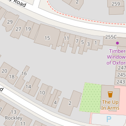
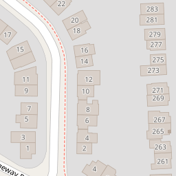
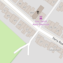

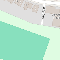
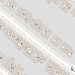


Leaflet © OpenStreetMap contributors
The heatmap indicates the level of crime in the area. The color of the heatmap indicates the crime severity and recency.
Metrics Year-on-Year
- Average area value
- 496,250.00 £Increased by 10.67 %
- Average area rental value
- 2,033.00 £/moIncreased by 6.22 %
- Est rental Yield
- 4.92 %Decreased by 3.91 %
- Crime Rate
- 4.00 %Unchanged by 0.00 %
from 448,423.00 £
from 1,914.00 £/mo
from 5.12 %
from 4.00 %
Nearby Schools
| Name | Type | Ofsted | Distance |
|---|---|---|---|
| St Michael'S Cofe Primary School | Voluntary Aided School | Good | 0.24 KM |
| Oxford International College | Other Independent School | Good | 0.94 KM |
| St Joseph'S Catholic Primary School, Oxford | Voluntary Aided School | Good | 1.17 KM |
| East Oxford Primary School | Community School | Good | 1.20 KM |
| East Oxford Children And Family Centre | Children's Centre Linked Site | 1.25 KM |
Images
Nearby Streets
| Name | Average Price | Average Sqft | Distance |
|---|---|---|---|
| Crotch Crescent | £ 400,000 | 0 | 0.00 KM |
| Alan Bullock Close | £ 0 | 0 | 0.00 KM |
| Morrell Avenue | £ 0 | 0 | 0.00 KM |
| Union Street | £ 0 | 0 | 0.00 KM |
| Collins Street | £ 0 | 0 | 0.00 KM |
Nearby Transport
| Name | NLC | TLC | Distance |
|---|---|---|---|
| Oxford | 3115 | OXF | 3.71 KM |
| Oxford Parkway | 3121 | OXP | 6.45 KM |
| Islip | 3110 | ISP | 7.37 KM |
| Radley | 3118 | RAD | 8.17 KM |
Nearby Listings
| Address | Price | Type | Score | Distance |
|---|---|---|---|---|
| Ferry Road, Oxford, OX3 | £ 550,000 | BUY | 5 / 10 | 0.01 KM |
| Ferry Road, Marston | £ 545,000 | BUY | 5 / 10 | 0.05 KM |
| Marston, Oxford, OX3 | £ 435,000 | BUY | Unknown | 0.10 KM |
| Ferry Road, Oxford, OX3 | £ 335,000 | BUY | Unknown | 0.13 KM |
| Ferry Cottage, Marston, Oxford, OX3 | £ 450,000 | BUY | Unknown | 0.14 KM |
Nearby Properties
| Address | Price | Distance |
|---|---|---|
| 6 Ferry Road | £ 432,500 | 0.00 KM |
| 15 Ferry Road | £ 245,000 | 0.00 KM |
| 19 Ferry Road | £ 335,500 | 0.00 KM |
| 20 Ferry Road | £ 711,000 | 0.00 KM |
| 7 Ferry Road | £ 525,000 | 0.00 KM |